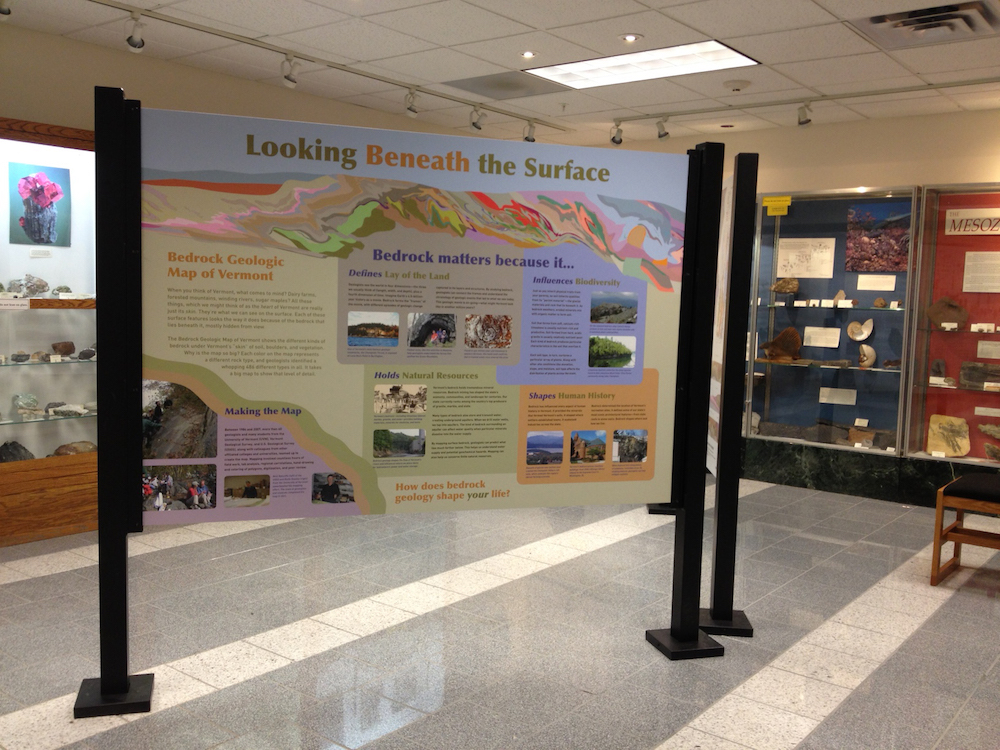
The interpretive exhibit was one of four panels installed together as an overall display in the museum. This elaborate map shows the many different kinds of bedrock under Vermont’s “skin” of soil, boulders, and vegetation. This extensive mapmaking took 23 years to complete from 1984 to 2007. The interpretive exhibit describes the process of creating the map and explains the many ways bedrock affects and shapes our lives.
Click on the Images Below to Enlarge